On Air Now
Heart Breakfast with JK and Amanda Holden 6:30am - 10am
17 January 2024, 11:53
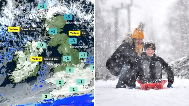
Weather warnings have been issued by the Met Office, but where is it going to snow and will it snow tomorrow? Here is everything you need to know.
Weather warnings have been issued by the Met Office, as the country is expected to face freezing temperatures.
The national weather service have revealed that there could be between 15-20cm of snow expected over the next few days, with Amber weather warnings for snow and ice being issued. The Met Office have stated that there will be heavy snow showers which will affect the Northern Isles and northwest Scotland, leading to travel disruption across the country.
This news comes after temperatures plummeted to -14C last night, which is believed to be the lowest January temperature in Britain since 2019. This cold snap is set to continue as temperatures are set to drop to -15C on Thursday 18th of January.
Forecasters previously warned of a snow bomb hitting the UK, with weather maps showing the majority of the country under a thick blanket of snow this week.
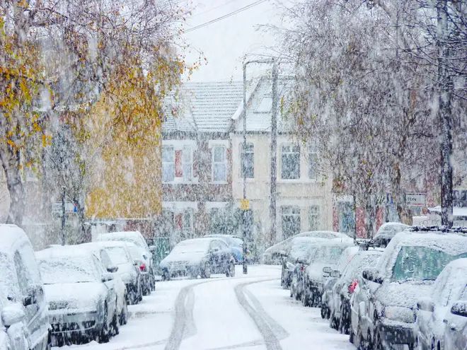
The Amber weather alerts are in place from Wednesday 17th of January 15:00 until Thursday 18th of January at 18:00 for northern parts of Scotland.
Yellow weather warnings have been issued for parts of Wales, Scotland and northern England for Wednesday 17th of January until Friday 19th of January.
Watch the Met Office forecast for this week here:
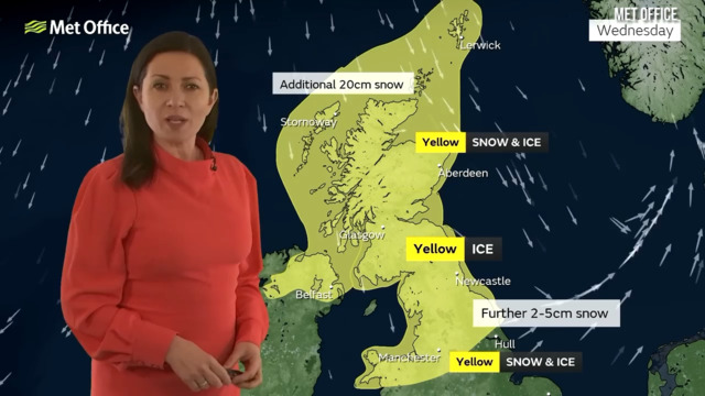
Met Office forecast snow for the UK
Snow is expected to fall in parts of Scotland, Wales and northern England tomorrow.
A Yellow weather alert has been issued for these areas which will last until Friday 19th of January.
Snow is expected in Scotland, Northern Ireland, Wales and northern and eastern parts of England this week.
Heavy snow showers are set to affect Northern Isles and northwest Scotland over the next few days.
Met Office Chief Meteorologist, Andy Page, said: "Where and how much snow we will get will vary throughout the week and weather warnings could change quickly, you will need to keep an eye on the forecast for your region for the latest information.
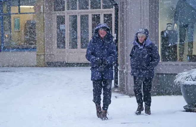
"There will be widespread frost this week and we could see some fairly deep laying snow in parts of northern UK and strong winds could result in drifting or blizzard conditions at times. The snow and ice will be disruptive and could potentially impact travel plans, make driving dangerous and pavements slippery.
"It will feel bitterly cold with daytime temperatures in the low single figures for many, and overnight temperatures will fall to -3 or -4 in many towns and cities, and it will be even colder in many rural areas."
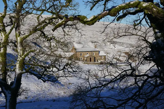
The Met Office weather forecast for the next 14 days shows that UK can expect snow, but also some milder temperatures.
The next five days will see lots of frost and ice, with substantial snow in some areas. However looking towards the end of the month, the national weather service states the forecast for 21st of January to 30th January will look as follows:
"By Sunday the transition to above normal temperatures is complete with Atlantic frontal systems pushing northeast across the UK bringing spells of rain and very strong winds across all areas. There is the potential for some damaging winds on Sunday into Monday, especially in the north.
"Rain is likely to be heavy at times across many western hills. The milder and wetter than normal conditions seem most likely to persist through to late-January, the wettest and windiest conditions likely to be focussed across the north and northwest, and in the the south and southeast some drier and more settled spells of weather are likely, especially later in the month, when the chance of overnight frost and fog increases once again."