UK slammed with country-wide flood alerts as Environment Agency warn MORE storms are on the way
25 September 2019, 12:19 | Updated: 25 September 2019, 15:56

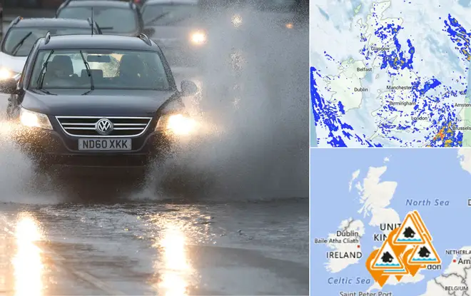
Yesterday's biblical downpour was only the start as Britain will face even worse weather this week.
The Environment Agency has issued yet another weather warning as a result of this awful weather, and it's only set to get worse.
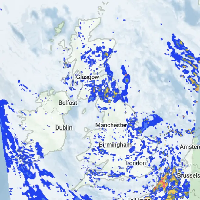
The latest forecast predicts flooding across different parts of the UK today after Hurricane Humberto slapped us with a MONTH's worth of rain in a mere six hours yesterday.
READ MORE: Hurricane Humberto set to cause thunderstorms and flooding
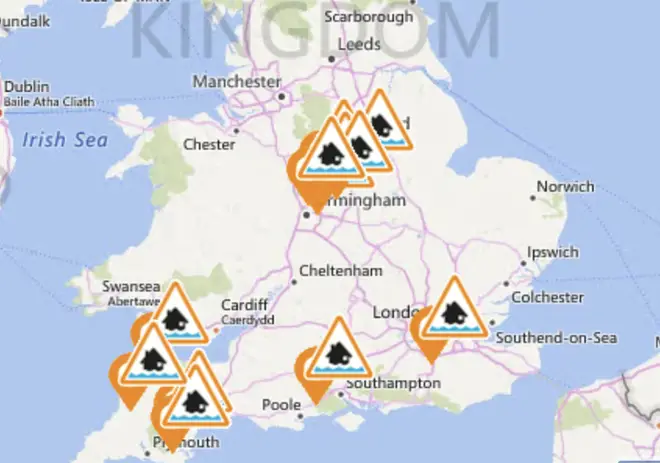
People in certain areas of the UK need to be careful as 12 different flood alerts have been issued today.
Areas affected are Barnstaple, Braunton, Ilfracombe and Combe Martin area, Lower Avon and tributaries, Lower River Soar in Leicestershire, Lower Tame, Middle Tame, River Anker and River Sence, River Cole, Diver Dart Area, South Devon Rivers, Upper River Mole, Ilfield Brook, Gatwick Stream, Burston Stream and Salfords Stream, Upper River Tamar, Upper Tame.

Absolute chaos ensued in the afternoon when the heavens opened and heavy downpours battered parts of the country, which closed four major train and tube stations in London.
Thousands of angry passengers were left delayed after Liverpool Street, Mootgate, St Paul's and Victoria stations were forced to close temporarily because of severe flooding.
if i speak i’ll get in trouble..... moorgate station! pic.twitter.com/H57zkIn0qK
— Simpson (@reecesimpson94) September 24, 2019
It's even raining inside Liverpool Street Station pic.twitter.com/2aEUoc4cCo
— Charlotte Callear (@CharCallear) September 24, 2019
Yesterday's flooding only affected certain parts of southern England and Wales, but the next few days will see all parts of the UK be at risk, but the weather won't be heavier than yesterday.
John Griffiths, from the Met Office, said: "It's going to stay autumnal over the coming days with further spells of wet and windy weather - although nothing as heavy as yesterday - but there will be some brief dry and bright interludes."

Met Office meteorologist Steven Keates said: "I wouldn't be surprised if more (warnings) are issued before the week has finished."
The ridiculous downpours is being brought by a burst of low pressure coming across the UK, linked to Hurricane Humberto which hit the Bermuda coastline last week.
On the Met Office's website it's stated that this week will be "Unsettled and often windy. Showers or longer spells of rain."


