On Air Now
Early Breakfast with Seb Bailey 4am - 6:30am
15 August 2024, 10:59


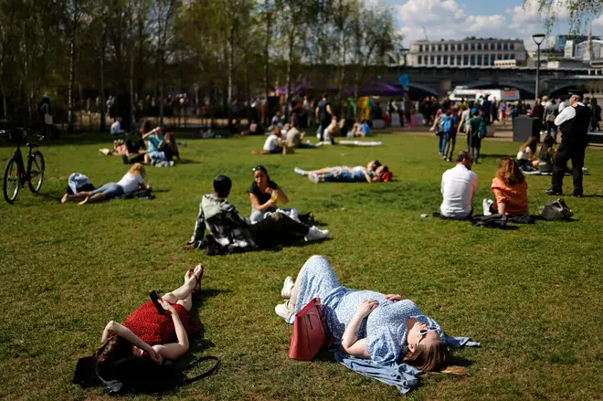
Red-hot temperatures from Europe may be on their way to the UK, as the latest weather predictions have been revealed...
New weather maps have hinted that an Iberian heat blast could be here in days, bringing blistering temperatures to the country.
After experiencing the hottest day of the year earlier this week and rumours of a second heatwave in August, WXCharts are predicting warm weather from Europe could see temperatures in the UK rise once again.
Lisbon and Seville are expecting to see highs of over 40C on Friday the 16th of August, leading to the possibility of scorching weather arriving on our shores.
While it is unlikely the UK will experience such extreme heat, southern England will see the bulk of the warmer weather tomorrow.

Maps from WXCharts show that temperatures are set to be around 25C to 26C in the south of England, while Scotland, northern England and Northern Ireland will see cooler weather, with highs of 19C.
The Met Office forecast for Friday reflects this, with their prediction for the day being: "Dry with plenty of sunny spells for many on Friday with showers continuing for northwest Scotland. Feeling breezy here but lighter winds in the south. Feeling warm in the sunshine."

However it looks like temperatures may rise later this month, with the forecaster predicting short spells of warmer weather.
For Monday the 19th of August to Wednesday the 28th of August, the Met Office claim there will be: "An unsettled start to the week with cloud and rain in many areas.
"This should clear, to allow a brighter interlude midweek with showers in the northwest. The second half of next week is uncertain, influenced to some extent by the remnants of ex-Hurricane Ernesto. The most likely scenario is a period of unsettled weather, especially in the north and west with heavy rain and strong winds possible, while it may be warmer and less-wet towards the southeast.
"By the weekend and the following week, a mobile westerly regime is likely, most of the wet weather in the north and west, and longer drier interludes in the southeast. Temperatures overall will be close to average, but the chance of short-lived very warm conditions in the south and east at times."
Looking towards the 29th of August to the 12th of September, they predict: "By the end of August and into September, the ongoing westerly regime looks most likely to continue though there is a slight increase during early September in the likelihood of settled spells.
"So typically, there will be occasional spells of cloud and rain spreading east or southeastwards across the UK. Rain or showers will tend to be most frequent in the northwest, where it may be rather windy at times, with drier and warmer weather more likely towards the south and east.
"There remains a chance of thundery conditions spreading in from the nearby continent at times. Temperatures most likely close to average overall, falling below in the case of unsettled days, but short, hot spells remain possible in the south and east."