UK weather: The areas snow is set to fall this week as temperatures drop
1 February 2022, 07:37 | Updated: 1 February 2022, 08:55

Gray day with rain and wind expected in latest Met Office weather forecast
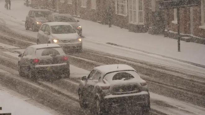
Snow could be heading for the UK by the end of the week as the mercury plummets.
Listen to this article
After an extremely windy few days, flurries of snow could be set to fall across the UK this week.
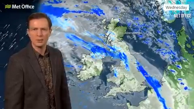
The latest UK weather map from WXCharts shows the white stuff falling in Scotland on Friday (February 4) as temperatures plummet to as low as -3C.
There is said to be a 95 per cent risk of snow in a large region of Scotland at around 6am and wintry showers could even hit Cumbria, before reaching the south of Manchester too.
- Phillip Schofield confirms he's tested positive for Covid
- Mum praises 12-year-old son for swearing at elderly woman in the supermarket
- Mum slammed for bringing uninvited child to birthday parties

At the end of the week, there is more than a 70 per cent chance of snow in an area of North West England and Wales, while there’s also around a 30 per cent risk of snow covering the Midlands and South East England.
Weather Outlook forecaster Brian Gaze told the Express: "During next week, it looks like high pressure is being centred further southwest than it has been recently.
"That will lead to more changeable and at times windy weather, particularly in the northern half of the UK.
"Pulses of polar maritime air from the northwest could bring brief colder interludes, with showers turning wintry in the north and over the Welsh mountains."

It comes as the Met Office issued weather warnings for strong winds in Scotland and the north, as Storm Corrie continued to batter parts of the UK.
Yesterday, gusts of 92mph were recorded in Stornoway, on the Western Isles, in the early hours of this morning, with a yellow warning covering North East Scotland.
Thousands of households were left without power across the north of England and Scotland over the weekend, while 37,000 are still without.
Met Office meteorologist Alex Burkill said: "There is no wonder there were significant impacts such as power outages and damage to buildings.
"It is very unfortunate that things were worse than that for some people."


