UK weather: Met Office issues snow warning for November as temperatures set to plummet
2 November 2021, 11:39 | Updated: 2 November 2021, 11:44

It’s officially Christmas time with Mariah Carey
Britain could be hit by snow over the next few weeks as the mercury is set to drop.
Listen to this article
With the clocks going back, it looks like we’re well and truly into winter now.
And while we might all be looking forward to a proper family Christmas, it looks like the weather will be taking a turn for the worse over the coming weeks.
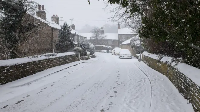
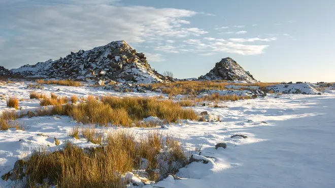
The Met Office has predicted temperatures will be slightly below average towards the end of the month, with snow even hitting some areas.
- Hairdresser reveals we've been washing our hair wrong - and there's one area we always miss
- Stacey Solomon shares new photos with baby Rose as she opens up on struggles
- School days could get longer in England to help children catch up

From Tuesday 16 Nov 2021 to Tuesday 30 2021, forecasters state: “Temperatures are set to be slightly below average overall throughout this period with an increased likelihood of wintry showers from the north and northwest at times.
The showers will first hit high ground and could reach lower levels later in the month, so it looks like some of us could be getting the white stuff a lot earlier than we expected.
Last year, the country saw the first flurry of snow during the beginning of December, with more hitting later on in the month.
Meanwhile, temperatures have dropped this week, with weather forecasters warning it's about to get a lot colder.

Stacey jokes about Joe Swash's Halloween choices as she dresses up as Celia from Monsters Inc
They have predicted this is going to be the coldest week of autumn seen so far, with November temperatures staying below average.
WxCharts estimates that Scotland will see the coldest weather, while the Highlands around Inverness could even get snow on Wednesday, making its way to Carlisle later in the week.
Jim Dale from British Weather Services told The Sun: "It is going to turn colder. The jet stream will move southwards over the coming days allowing a northerly, polar airflow.
"Showers may turn wintry over the hills in the north and there will be a risk of frosts."
The rest of the month is also looking unsettled with ‘autumnal conditionals dominating the weather’.

The Met Office forecast states: “The wettest and windiest conditions expected in the west and northwest over the weekend with bands of heavy and perhaps prolonged rain and a risk of gales.
“There is a risk of this rain being impactful, however there will also be some drier interludes.
“The driest and brightest conditions are most likely in the southeast where any bands of rain will be weaker than those seen elsewhere.
“Occasionally windy throughout with the strongest winds expected in the northwest but becoming less windy by the end of the period.”
Despite the blustery conditions, temperatures are set to be slightly above average.


