UK weather: New map shows Britain to be hit by 30cm of snow next week
8 February 2022, 11:38 | Updated: 8 February 2022, 14:00
UK to get clearer but colder in latest Met Office weather forecast
The Met Office has predicted the country will be hit by snow by the end of the week.
Listen to this article
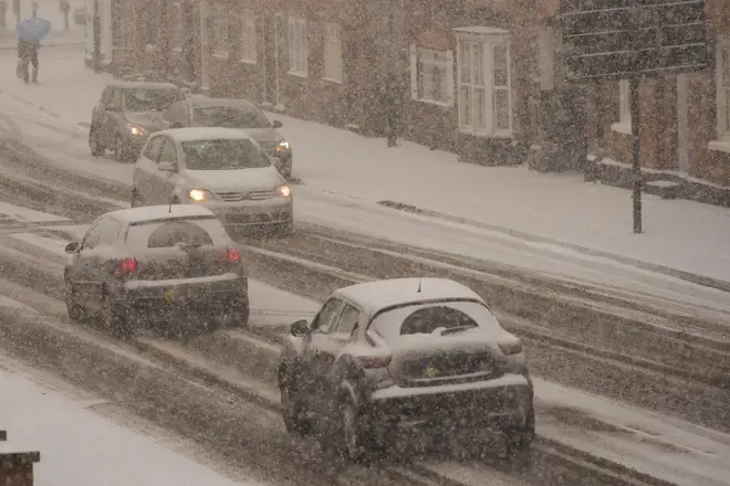
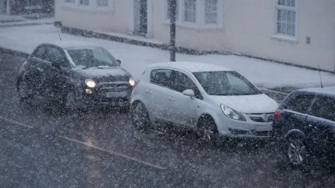
It looks like the temperature is set to drop again this week, with snow predicted across the country.
Latest weather maps from WX Charts show flurries of the white stuff will fall in the highlands as early as Wednesday morning, before moving down the country next week.
Jim Dale, a senior meteorologist at British Weather Services, has said that over the next week there would be between two and three centimetres of snowfall in northern areas of the UK.
- Masked Singer fans convinced Panda accidentally said her name live on air
- Royal fans notice Queen's poignant tribute to late father in new photos
- Kirstie Allsopp says youngsters can afford a house if they give up Netflix, coffee and the gym

He added to the Express.co.uk that more than ten times that amount could fall in mountainous parts of the country.
The Met Office has also predicted snow towards the end of the week and into next.
Forecasters state: “Wintry showers in the north Thursday, elsewhere rain clearing from the far south then dry.
“Very windy across northern Scotland. Mostly fine Friday before rain spreads to northern areas Saturday.”
While Scotland will see the worst of the weather, England could be colder than Finland by Valentine's Day.

Temperatures are expected to get as cold as -5C in some places, so make sure you wrap up if you are heading outside.
Ex-BBC and Met Office forecaster John Hammond told The Sun: "A plunge of Arctic air looks set to sweep down across the UK later in the week, which may well see hard frost and some snow.
“Temperatures ahead are expected to average out rather lower than through much of winter, with more frequent incursions of Arctic air.
“A wetter and chillier mix looks likely as we head into March. Late snow is a possibility.”

Snow could reach further south in the latter part of the month, with Met Office experts predicting the cold weather will continue.
The forecast until Feb 20 states: "Through the rest of this period high pressure will likely dominate across most of the UK.
"Rainfall will be limited at first with a risk of some wintry showers in the north and east, with an increasing chance of rain in western and Northwestern areas later.
"Temperatures likely to be near average with the potential for a brief colder interlude for northern and eastern parts."


